Executive Summary & Market Positioning
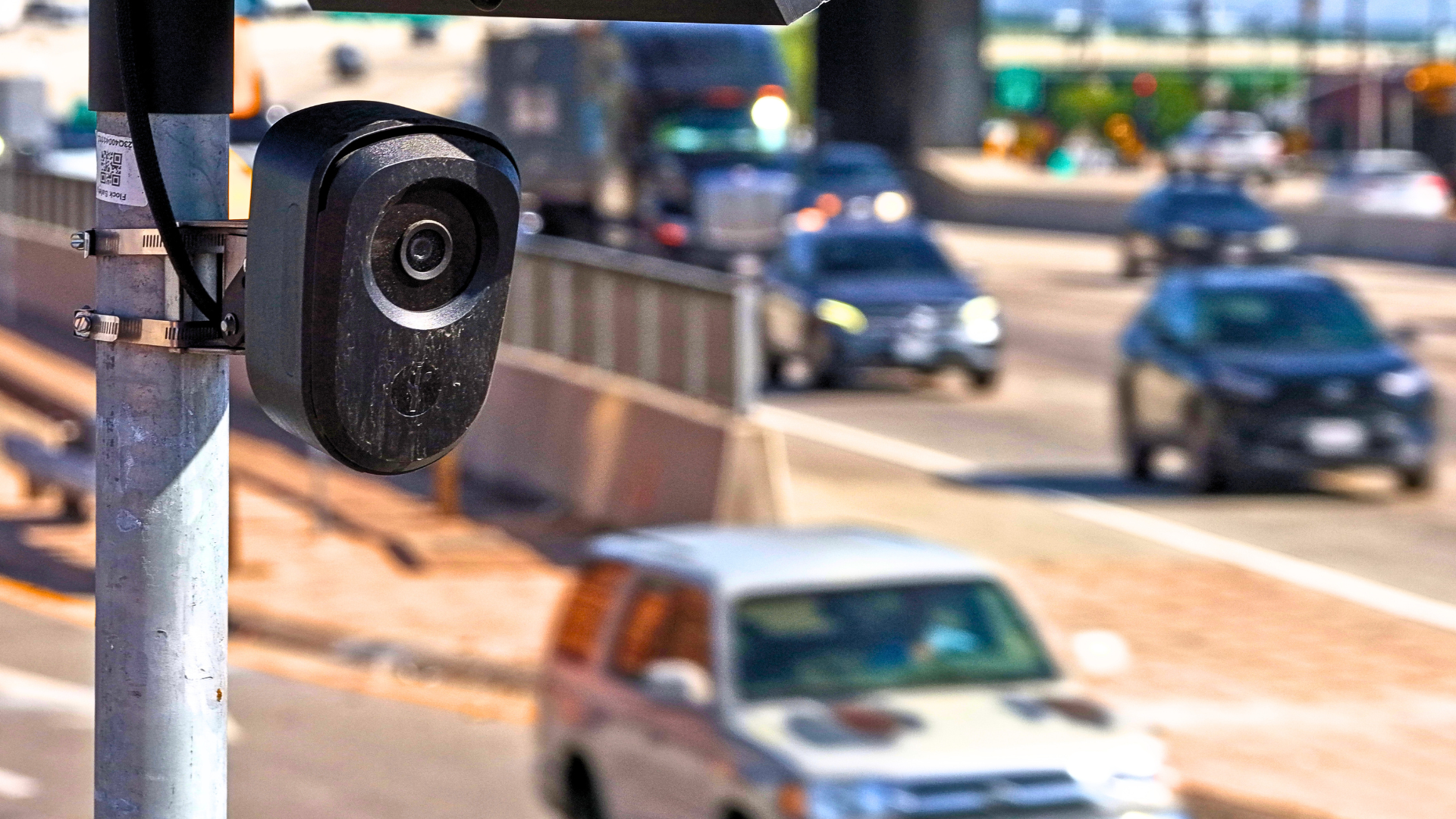
The landscape of consumer digital cartography has fundamentally shifted from benign turn-by-turn navigation to proactive counter-surveillance tooling. MapQuest—a pioneering web mapping service that historically predates the modern smartphone ecosystem—has released a major application update introducing a dedicated "Surveillance Layer." By aggregating and plotting the exact geographic coordinates, orientation angles, and hardware lineage of automated license plate recognition (ALPR) nodes, MapQuest has thrust itself into the center of the modern privacy debate. This feature covers an expansive array of enterprise and municipal edge-capture devices, pulling in telemetry for hardware manufactured by industry heavyweights including Flock Safety, Motorola Solutions (Vigilant), Genetec, Axis Communications, Axon, Leonardo (ELSAG), Neology, Rekor, PlateSmart, Ubicquia, and Verkada.
Positioned against incumbent routing applications like Google Maps and Apple Maps—which traditionally obscure public-sector tracking infrastructure—MapQuest’s new layer acts as an empirical diagnostic tool for the physical realm. The integration transforms consumer mobile displays into dynamic heatmaps of optical sensor saturation. While municipal entities and law enforcement agencies market these optical sensor arrays as vital public safety infrastructure, the consumer hardware community and privacy advocates view the unchecked proliferation of edge-computed image sensors as an infrastructural vulnerability. By democratizing access to the spatial footprint of these optical systems, MapQuest has shifted the power dynamic between institutional surveillance arrays and the civilian end-user, prompting urgent questions about the physical transparency of smart city deployments.
Core Architectural & Technological Innovations
The technical backbone of the MapQuest Surveillance Layer relies on high-resolution spatial mapping pipelines that cross-reference known hardware deployment footprints with vector map layers. Unlike traditional speed trap or traffic camera warnings sourced via crowdsourced peer reporting, ALPR arrays require hyper-specific metadata: precise latitude, longitude, elevation, mounting height, and crucially, optical bore-sight orientation. Because modern ALPR units—such as the solar- and cellular-backed systems deployed by Flock Safety or the fixed-pole arrays installed by Motorola Solutions—depend on unobstructed lines of sight to capture high-contrast retroreflective plate data at highway speeds, their physical placement is constrained by civil engineering realities.
MapQuest’s implementation capitalizes on these geometric constraints by not only dropping pinpoints for individual cameras but also visually rendering their directional fields of view. This directional telemetry allows routing engines and end-users to compute vector trajectories that minimize optical exposure. While the provenance of the underlying dataset remains partially opaque—echoing previous security incidents where unauthenticated cloud buckets exposed hundreds of thousands of raw Flock camera locations nationwide—the software architecture demonstrates a sophisticated synthesis of geographic information systems (GIS) and threat-modeling heuristics. By treating municipal cameras as structural hazards akin to road closures or construction zones, MapQuest has engineered a software-level countermeasure to continuous optical logging.
Empirical Specifications & Benchmark Matrix
| Technical Parameter | Traditional Navigation Layer (Google/Apple) | MapQuest Surveillance Layer Baseline | Enterprise ALPR Node (Flock/Motorola) | Counter-Surveillance Hardware ("Flock Sock") |
|---|---|---|---|---|
| Target Visibility | Obscured / Omitted | Explicit Vector Mapping | Proprietary Edge Capture | Physical Optical Blinding |
| Data Sourcing | Commercial Telematics | Open GIS / Researcher Feeds | Cellular / Fiber Backhaul | Manual / Telescopic Pole Mount |
| Directional Telemetry | None | Field-of-View Indicators | 30°–60° Capture Cone | 0° (Occlusionary) |
| Update Frequency | Real-time Traffic | Periodic App Updates | Continuous Streaming | N/A (Manual Deployment) |
| Regulatory Status | Compliant | Compliant / Consumer-Facing | Municipal Authorized | Legally Contested |
Thermal, Efficiency & Real-World Ergonomics
Operating a dynamic, high-density vector overlay on a mobile mapping interface places distinct demands on modern smartphone client hardware. Rendering hundreds of localized vector polygons—each representing the directional cone of an optical sensor—requires increased GPU utilization compared to standard vector map tiles. During extended navigation sessions, users may notice accelerated battery drain and localized thermal throttling as the mobile processor continuously queries local spatial databases to render nearby surveillance infrastructure in real-time. MapQuest developers have had to optimize rendering efficiency through aggressive culling, ensuring that off-screen sensor nodes are dropped from the active render pipeline to preserve thermal equilibrium on resource-constrained mobile handsets.
In real-world ergonomics, the Surveillance Layer fundamentally alters how drivers interact with routing recommendations. Navigating dense urban environments heavily saturated with Axis and Verkada security cameras or specialized police ALPR networks now involves a constant calculus between optimal routing efficiency and optical evasion. Where detours are impractical due to dense architectural coverage, users are left exposed to ubiquitous data collection. This physical reality has catalyzed parallel consumer hardware innovations, ranging from 3D-printed "Flock Sock" slip-on optical covers deployed via telescopic poles to custom open-source tracking nodes designed exclusively to audit municipal vehicles. The MapQuest layer serves as the digital front end to this physical arms race, bridging the gap between passive software alerts and active spatial awareness.
The Definitive Verdict
MapQuest’s introduction of the Surveillance Layer marks a watershed moment for consumer navigation software, effectively transforming a legacy mapping platform into an indispensable empirical tool for privacy-conscious drivers. By openly mapping the physical footprints of Flock, Motorola, and Axis hardware, the platform validates long-standing concerns regarding the unchecked expansion of smart city optical surveillance. While it cannot completely neutralize dense urban tracking networks—and may introduce minor mobile GPU overhead during intensive rendering—its ability to visualize sensor orientation provides unprecedented situational awareness. For hardware enthusiasts, privacy advocates, and everyday commuters navigating an increasingly panoptical physical infrastructure, MapQuest’s new layer earns an unequivocal recommendation as an essential diagnostic utility.